-
-

-
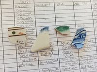
artifacts excavated in Locus E during the 2022 season field
-
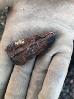
Photo of nail
-
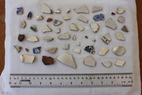
Photos of artifacts and excavations from the 2022 field season as Hughes Estate
-
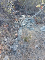
Small foundation wall of at least 2.7m in length located south of the plantation cistern and east of the smokehouse.
Cut stones of roughly 20 cm thickness.
-
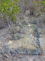
Small L-shaped foundation between the animal mill round and the animal pen.
Dimensions: .78m x1.78m x1.34mx. 74m x. 1.02m
-

Carl Webster blueprints of Hughes Estate smokehouse building
-
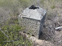
Drone footage of site and structures from August 2021. Drone owned and operated by Khori Hodge, Anguilla.
-
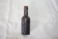
-
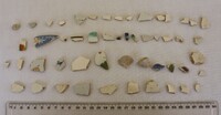
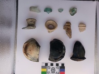
Artifacts found in association with Locus E
-
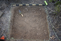
1x1 meter excavation units
-
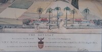
Watercolour, 51.5 × 77.5 cm
-
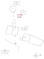
Corner of a possible outdoor oven or chimney. May connect with Locus A.
-
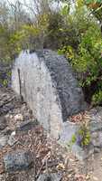
Locus C is the largest structure in area at Hughes Estate.
It consists of a large open cistern with a raised water catchment area on at least one side.
A fence of stacked limestone connects to the corners of the eastern face of Locus C and enclose a large area.
Additionally, there is a small building abutting the SW corner of the catchment area.
-
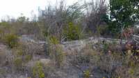
Locus E is an L shaped structure of at least three rooms located in a central position at Hughes Estate.
Material: Cut stone
-
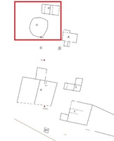
Plantation sugar works. Locus G was the cattle mill, where the canes were crushed. The mill at Hughes would have been powered by cattle, oxen or horse. After being processed in the mill, raw cane juice would have flowed down hill to Locus H where it would be boiled in a series of coppers. The boiling house (H) at Hughes was divided by four partitions.
material: stone
-
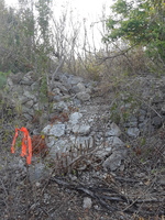
Large enclosure divided into two pens with addition off the northern wall. Tentatively identified as animal pen with shed/barn addition.
Material: Limestone
-
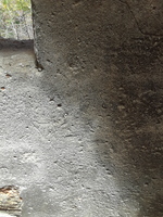
Ship etching on smokehouse interior
-
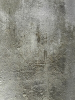
Smokehouse Ship
-
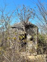
Plantation smokehouse with ships etched on interior walls, pyramidal stone roof plastered with lime. Windows slant inwards.
Material: Cut limestone, brick, lime mortar
-
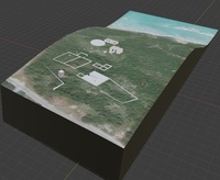
3D map of site historic structures over topographic data built in Blender with GIS plugin.
-
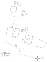
This map of the historic structures at the Hughes Estate site is the result of the efforts of an archaeological team comprised of students from Temple University, interns from Anguilla’s Department of Youth and Culture, and volunteers during summer 2019.
-
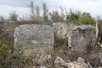
Locus A is the stone-built cellar foundation of a moderate sized building. It consists of a main foundation with an exterior staircase on the northern wall, and a small addition on the southern wall. It is the north-eastern most planation building of Hughes Estate.
A wooden upper level would likely have rested on the foundation, with the stairway leading to a wooden veranda.
Locus A is tentatively identified as the residence (great house) of the owners of Hughes Estate.
Material: Lime mortar poured bricks, lime mortar


